# A Tiny Satellite Fleet Is Mapping Earth Like Never Before — Here’s Why It Matters
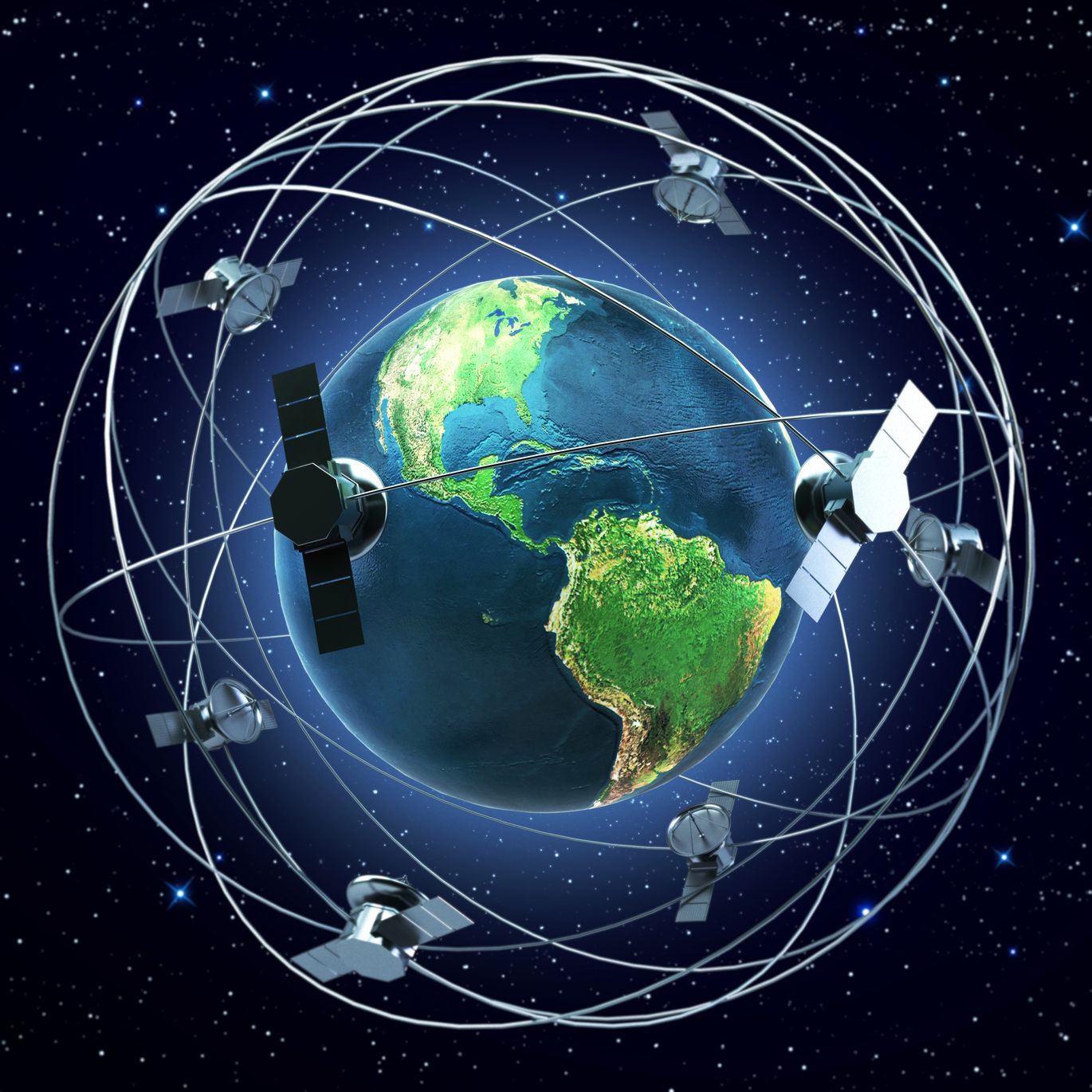
Above the horizon of any given morning, an invisible army of shoebox-sized machines sweeps over the planet. They do not carry astronauts, nor do they broadcast Hollywood blockbusters. Instead, these compact satellites — CubeSats and microsatellites launched in the hundreds over the past decade — peer down with cameras, radars and spectral sensors to record the Earth’s changing skin at a cadence and cost unheard of in the era of one-off, multimillion-dollar imagers.
This change is not merely technical. It is reshaping how scientists, responders, farmers and policymakers see the planet, and it arrives just as climate pressures demand faster, more granular data. From nearer-daily imagery of tropical deforestation to radar snapshots of a harbor after a cyclone, these constellations are delivering practical insights faster and to more users than traditional systems ever could.
Why small satellites now matter
For decades, Earth observation relied on a few large, expensive spacecraft that took periodic snapshots: high-resolution but infrequent observations that were excellent for detailed study but slow for evolving events. The new model flips that tradeoff. Companies and agencies operating smallsat constellations — such as Planet Labs, BlackSky, ICEYE, Capella Space, GHGSat and Spire — field fleets designed for high revisit rates, complementary sensors and fast tasking.
Several technical shifts enable this revolution. Manufacturing costs have dropped thanks to modular CubeSat standards and off-the-shelf components. Launch costs have fallen as rideshare and dedicated small-launch vehicles proliferated. Advances in onboard electronics and ground processing mean raw scenes can be ingested, calibrated, georeferenced and delivered within minutes to hours. The result: near-real-time mosaics, change-detection alerts and streaming feeds that ordinary users can query.
How they see — and what they reveal
Not all smallsats are the same. Optical systems provide multispectral imagery used to compute indices like NDVI (Normalized Difference Vegetation Index) for agriculture and forestry. High-cadence optical imaging from Planet’s Dove fleet, paired with taskable higher-resolution data from SkySat-class platforms, enables daily monitoring of crop stress or illegal logging. Synthetic Aperture Radar (SAR) satellites from operators such as ICEYE and Capella penetrate clouds and darkness, revealing infrastructure damage after storms, measuring land subsidence in urban basins, or tracking sea-ice movement in polar regions.
Specialized operators focus on narrow but critical niches: GHGSat measures localized greenhouse-gas plumes to detect industrial methane leaks; Spire combines radio occultation and AIS (Automatic Identification System) tracking to support weather models and maritime domain awareness. Together, these varied sensors create a richer, multi-layered portrait of the planet than any single satellite ever could.
Practical impacts on climate, disasters and commerce
The payoff is tangible. In disaster response, rapid imagery can identify blocked roads, damaged bridges and flood extents within hours, guiding relief convoys. During wildfire seasons, near-real-time burn maps and hotspot detection aid firefighters and protect communities. For climate science, frequent observations improve the calibration and validation of models: coastal erosion can be tracked shoreline-by-shoreline; seasonal glacier retreat can be quantified with monthly precision; and urban heat islands can be mapped more responsively to inform mitigation.
Commercial and regulatory applications are expanding, too. Agriculture companies use time-series satellite data to optimize irrigation and detect pest outbreaks early. Shipping firms and ports use high-cadence imagery and AIS overlays to improve logistics. Regulators and NGOs use methane concentration maps to pressure polluters to repair leaks, and to prioritize inspections based on satellite-identified anomalies.
Challenges and guardrails
This surge in observational power raises new questions. Data quality and consistency matter when imagery informs legal or regulatory decisions; cross-calibration among dozens of providers is technically demanding. Privacy advocates worry about persistent, high-resolution monitoring of populated areas. Market fragmentation — many providers offering overlapping signals and proprietary analytics — creates integration hurdles for users who need unified, trustworthy streams.
Addressing these issues will require better standards for radiometric calibration and geolocation, transparent metadata practices, and regulatory frameworks that balance commercial opportunity with civil liberties. International cooperation will be essential to ensure imagery is used responsibly to support climate adaptation and humanitarian needs.
The next frontier
The coming years will likely deepen this paradigm. Hyperspectral smallsats promise to identify vegetation types, mineral signatures and water quality indicators. More SAR nodes will produce denser time-series beneath clouds. Machine-learning pipelines at the edge and on the ground will turn raw pixels into actionable alerts — for example, automated detection of illegal mining or rapid shoreline retreat — with minimal human oversight.
Concluding summary
A growing fleet of small satellites is turning the planet into a continuously observed, increasingly analyzable system. By trading single-shot, ultra-expensive sensors for many lower-cost, taskable platforms, operators now offer the high cadence and diversity of measurements that climate scientists, emergency managers, farmers and regulators need. The benefits are already clear: faster disaster response, better-informed climate policy and more efficient resource management. Yet these gains come with responsibilities — technical, legal and ethical — that societies must address if this new age of earth observation is to serve the public good. In short, the tiny satellites above are not just mapping landscapes; they are mapping the way we will respond to a warming, changing world.