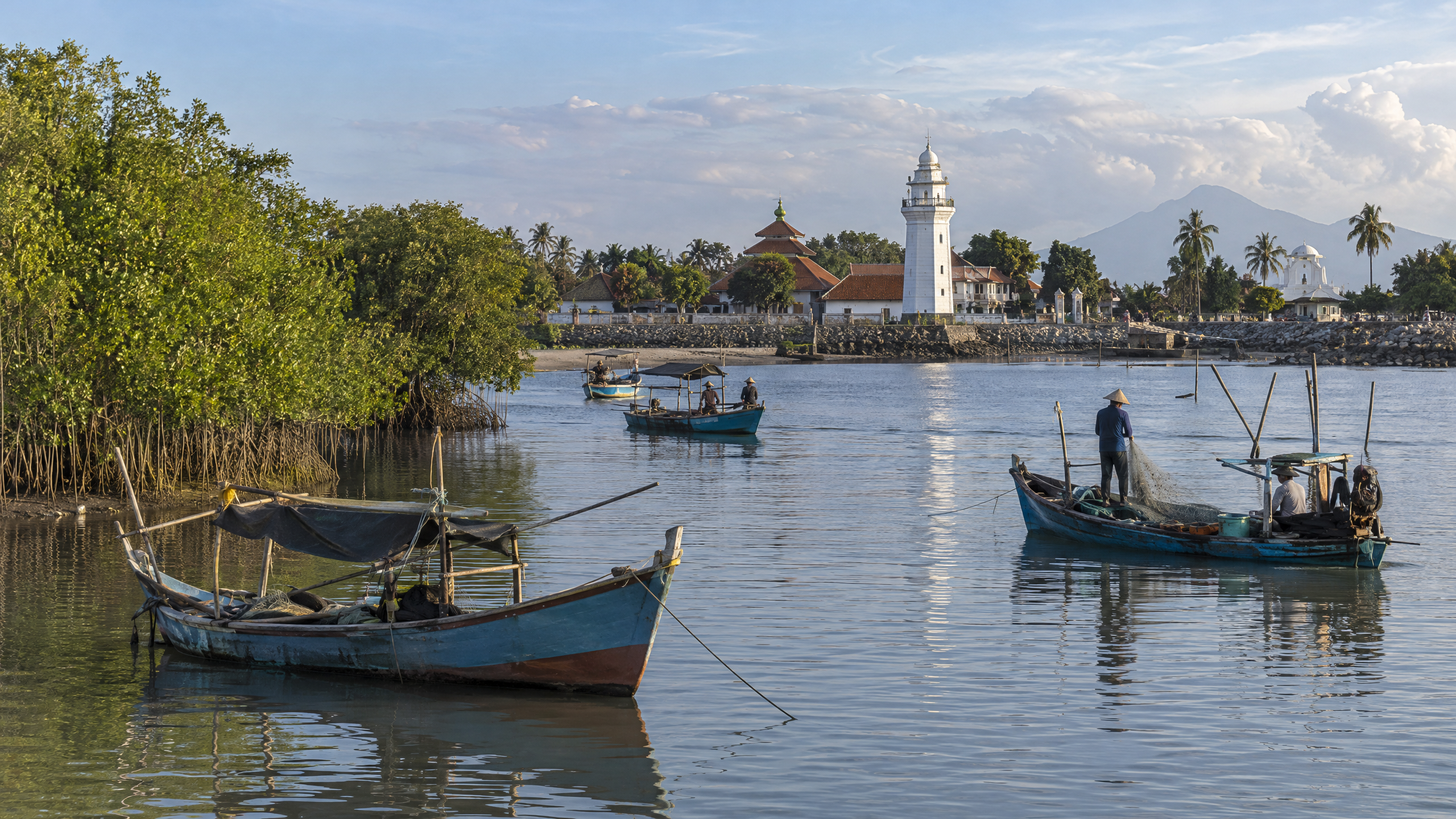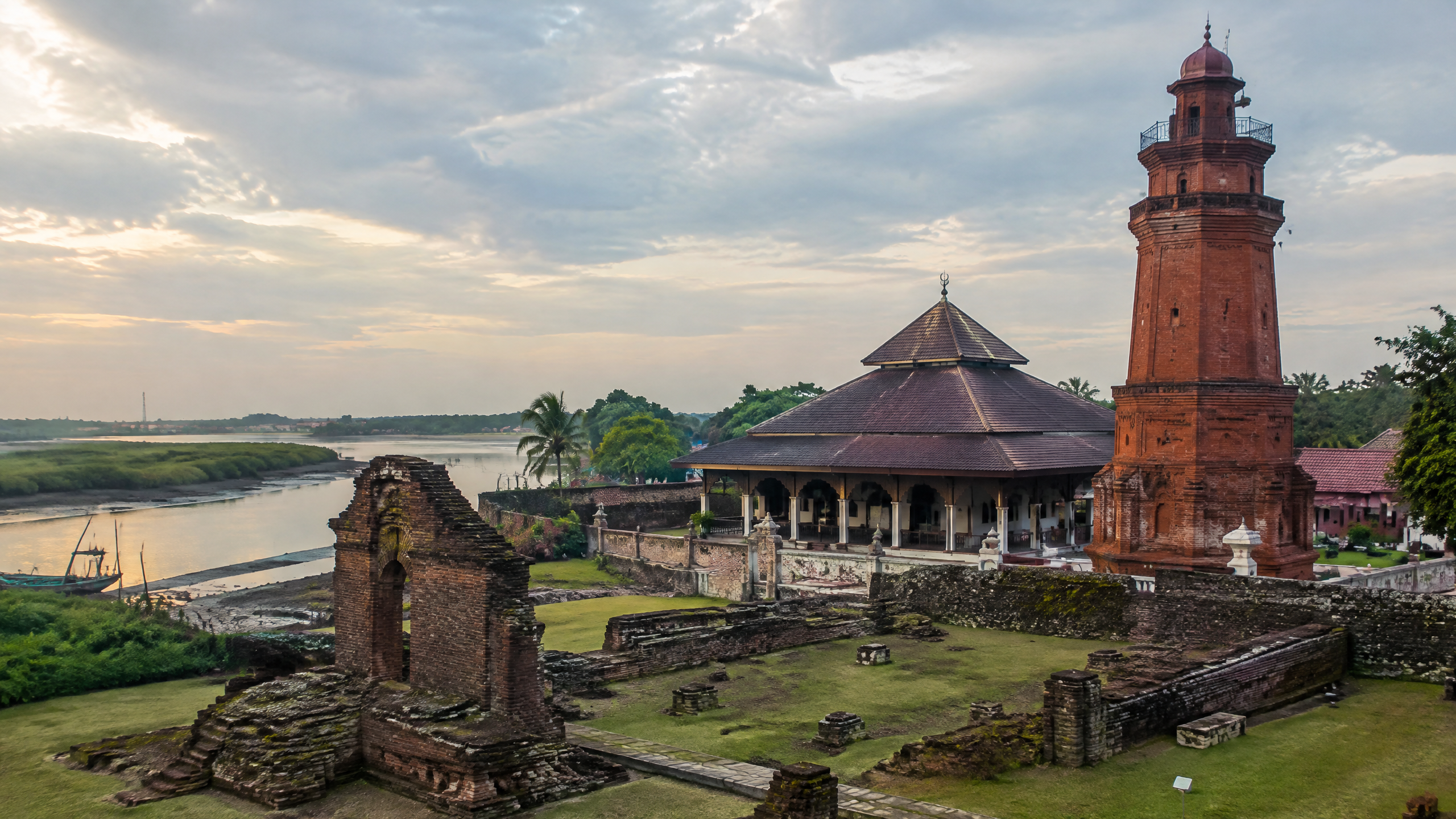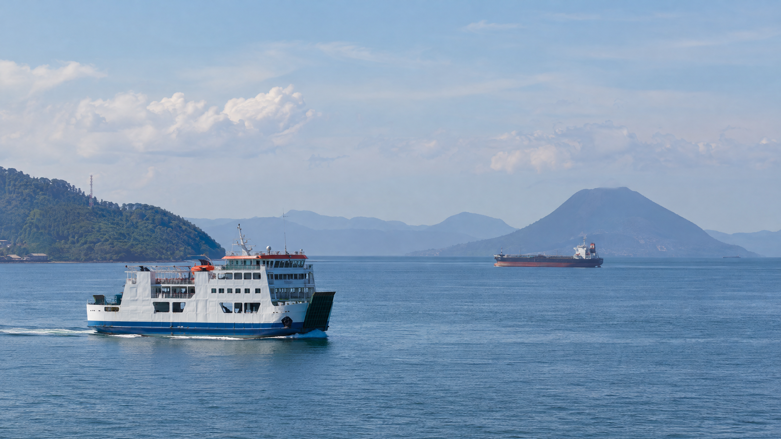
The Sunda Strait is more than a gap between Java and Sumatra. It is a maritime corridor linking the Java Sea with the Indian Ocean, carrying domestic crossings and commercial shipping while also exposing coastal communities and vessels to volcanic and tsunami hazards. Its history is therefore best understood through three connected forces: Krakatau’s eruptions, the growth of the Merak gateway, and the Allied-Japanese battle fought in the passage in 1942.
That combination explains the strait’s strategic weight. Geography made it useful; geology made it dangerous; and its position between the Indian Ocean and eastern Asia made it a military and commercial route. The evidence also shows why claims about its present-day traffic should be dated carefully: the sources reviewed for this article do not provide a complete October 2026 traffic count or a single current schedule for every port.
Why is the Sunda Strait geographically important?
Britannica describes the strait as 26 to 110 kilometres wide, lying between Java to the east and Sumatra to the west. It connects the Java Sea, part of the Pacific system, with the Indian Ocean. Volcanic islands lie within it, most famously Krakatau. That physical setting makes the strait a natural alternative to routes farther east, but it also creates a corridor where navigation, port access and hazard monitoring must operate together.
In modern administrative language, the waterway is also discussed alongside Indonesia’s archipelagic sea-lane system, or ALKI: designated sea routes through the archipelago. Banten’s transport authority describes the Sunda Strait as one of Indonesia’s busiest shipping areas and notes its proximity to ALKI I. The same account lists activity around Ciwandan, Karangantu, Bojonegara, Anyer and Labuan, while stressing the need for vessel-safety standards, vessel-traffic services and coordinated port oversight.
How did Krakatau shape the corridor’s volcanic history?
The 1883 Krakatau eruption turned a shipping passage into one of the world’s best-known volcanic case studies. The U.S. Geological Survey records that more than four cubic miles of volcanic debris were expelled during the main event and that more than 36,000 people died. Britannica records tsunami waves reaching about 38 metres and the destruction of roughly 300 towns and villages. These figures describe a disaster whose effects extended well beyond the volcanic island itself.
The hazard did not end with the nineteenth century. The ESDM geology library records renewed activity after the 1883 catastrophe, including submarine explosions beginning in December 1927 and the emergence of Anak Krakatau, or Child of Krakatau, as a new volcanic island. BMKG’s chronology of the 22 December 2018 tsunami explains a different mechanism from a typical earthquake tsunami: an eruption at Anak Krakatau triggered a 64-hectare flank collapse. BMKG also notes that its automatic tsunami warning system at the time was designed for tectonic earthquakes, not volcanic activity. The lesson is operational as well as historical: a busy sea lane requires monitoring of both earthquakes and volcanoes.
How did Merak turn the strait into a commercial corridor?
The Banten provincial government says Merak Port began operating in 1912 to support the economy of the Dutch East Indies. Its location connected two large islands, Java and Sumatra, and the provincial account says export and import activity continued there after Indonesian independence. That history places Merak within a longer story of moving people and goods across the strait, rather than treating the ferry crossing as a recent invention.
Today, Merak and Bakauheni remain the best-known domestic crossing pair. A Ministry of Transportation page documenting the Merak-Bakauheni route lists vessels, operators and passenger and vehicle capacities, but it is a historical page dated 18 July 2014. It should not be read as an October 2026 fleet list. The safer conclusion is narrower: the route is an established national transport link, while its current fleet, sailing pattern and volumes need the latest operator or government release before being stated as present fact.
What happened in the Sunda Strait battle of 1942?
The U.S. Naval History and Heritage Command places the engagement on the night of 28 February to 1 March 1942, after the wider Battle of the Java Sea. USS Houston and the Australian cruiser HMAS Perth entered Banten Bay to attack Japanese invasion forces, then found the Sunda Strait blocked by Japanese destroyers and faced approaching cruisers.
Perth was sunk by gunfire and torpedoes. Houston continued fighting, hit several destroyers and sank a minesweeper, but was then struck by successive torpedoes and sank about an hour later. The episode shows the strait’s military logic: a passage that can connect seas and ports can also become a confined retreat route when naval forces control its exits.
What do the verified facts tell us?
- The strait lies between Java and Sumatra and links the Java Sea with the Indian Ocean.
- Krakatau’s 1883 eruption killed more than 36,000 people and generated destructive tsunamis.
- Anak Krakatau’s 2018 flank collapse produced a tsunami without a triggering tectonic earthquake.
- Merak Port began operating in 1912, according to the Banten provincial government.
- The 1942 Sunda Strait battle ended with the loss of USS Houston and HMAS Perth.
- Banten authorities describe the area as a busy shipping zone requiring coordinated safety controls.
What do we know, and what remains unclear?
We know the corridor’s historical functions are inseparable. Volcanism repeatedly altered the physical and human geography; Merak made the Java-Sumatra crossing an economic institution; and the 1942 battle demonstrated its military value. We also know that official safety policy now emphasizes coordination among port operators, regulators, law enforcement, technical experts and users.
What remains unclear from the sources available on 14 October 2026 is a consolidated, up-to-date measure of all commercial traffic through the strait, a current port-by-port fleet inventory and any verified new strategic designation. Those questions require current releases from the relevant ministries, port operators, BPS or local governments. Until such data are published, the defensible history is the one the records support: the Sunda Strait is simultaneously a volcanic landscape, a working commercial passage and a proven theatre of war.
Sources
- https://www.britannica.com/place/Sunda-Strait
- https://www.usgs.gov/publications/krakatau-1883
- https://geologi.esdm.go.id/perpustakaan/?p=show_detail&id=20099&keywords=
- https://www.bmkg.go.id/berita/utama/bmkg-ungkap-kronologi-tsunami-selat-sunda
- https://bantenprov.go.id/berita/lemhannas-ri-dorong-selat-sunda-menjadi-pusat-maritim-dunia-pj-gubernur-banten-al-muktabar-potensi-kita-sangat-besar
- https://dishub.bantenprov.go.id/berita/pemprov-banten-dorong-penguatan-keselamatan-berlayar-di-selat-sunda
- https://dephub.go.id/post/read/lintasan-merak-bakaheuni-63025
- https://www.history.navy.mil/browse-by-topic/wars-conflicts-and-operations/world-war-ii/1942/java-sunda.html