There is no publicly verifiable Google Trends or search-volume report for Banten on 14 October 2026, so The Banten Post cannot publish a ranked list of what residents searched. The questions most directly prompted by the latest coastal-hazard coverage are nevertheless clear: could 2.5–4 metre waves reach Banten’s shore, is this a tsunami warning, which coastal communities are exposed, and where should residents check for instructions?
Here is what the authorities and reliable reporting actually establish—and what they do not.
How high were the waves south of Banten?
BMKG’s marine warning places waves of 2.5 to 4 metres in the “high” category. Its 12 October warning covered the Indian Ocean south of Banten toward West Java and other waters, while the BMKG marine forecast page for southern Banten displayed a potential maximum of about 3.7 metres and urged users to follow local authority instructions. Antara-affiliated Metro TV, reporting on 12 October, quoted BMKG forecaster Afif S. describing the 2.5–4 metre risk from the Indian Ocean south of Banten to West Nusa Tenggara.
That figure describes significant wave conditions offshore, not a promise that a four-metre wall of water will arrive at every beach. Actual conditions vary by water area, wind, coastline shape, tide and the vessel or beach location. The warning is therefore most immediately relevant to fishermen, small boats, shipping and people entering exposed coastal waters.
Does a high-wave warning mean a tsunami is coming?
No. A high-wave warning and a tsunami warning are different products. BMKG defines its marine categories as sea-state information: 1.25–2.5 metres is moderate, 2.5–4 metres high, 4–6 metres very high, and above 6 metres extreme. The pages reviewed for this article contain marine-weather and coastal-flood guidance, not a tsunami bulletin triggered by an earthquake.
That distinction does not mean Banten can ignore tsunami preparedness. The Banten provincial government says the southern coast is vulnerable because of the Indian Ocean subduction zone. In other words, tsunami risk is a standing geographic hazard that requires preparedness; it is not proof that the 12 October wave alert was itself a tsunami warning.
Which Banten areas have preparedness measures?
In a report published on 10 September, Antara said BNPB’s prevention team had assessed preparedness in Pandeglang, Serang and Cilegon. The assessment covered Tanjung Lesung, Sumberjaya and Panimbangjaya villages in Pandeglang, coastal villages in Serang, and Kubangsari in Cilegon.
- BNPB reported that tsunami sirens in Sumur and Panimbang were operational.
- Evacuation routes in the assessed Pandeglang locations had been installed, and disaster simulations were being conducted regularly.
- In Salira, Karang Suraga and Anyar, Serang, BNPB found functioning sirens, evacuation maps and active disaster-risk-reduction forums and coastal volunteers.
- In Kubangsari, Cilegon, BNPB reported an early-warning standard operating procedure, village facilitators sharing information and a functioning tsunami siren at the village office.
- BNPB also said the Warning Receiver System Gen in Tanjung Lesung was still being repaired at the time of that assessment.
These are preparedness findings from September, not a real-time declaration that all devices remain in the same condition on 14 October. Residents should confirm local instructions with BPBD, village officials and other emergency authorities rather than assume that a siren status is unchanged.
Is coastal flooding the same as a tsunami?
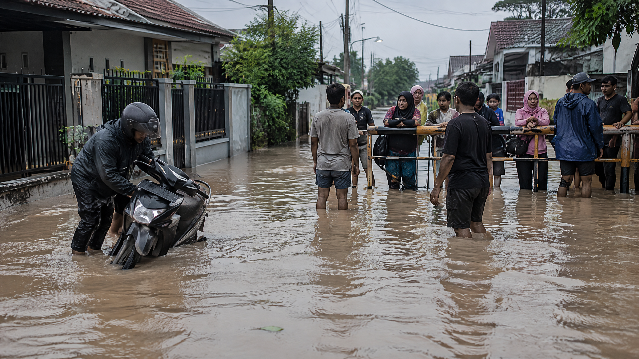
Not necessarily. “Rob” means coastal inundation associated with high sea levels, commonly around high tide and other ocean conditions. BMKG issued coastal-flood guidance for several Indonesian shorelines around the 12 October period, and the 12 October report listed Banten among the coastal areas urged to remain alert. A rob notice is not, by itself, evidence of a tsunami or a report that every named shoreline has flooded.
Residents should also separate the marine warning from the ordinary weather outlook. BMKG’s 13–15 October outlook identified Banten as an area where moderate rain could increase, while its 16–19 October outlook listed Banten among areas that could experience strong winds. Those forecasts can add travel, drainage and shoreline risks, but they do not replace a location-specific marine or BPBD update.
What should residents check before travelling or going to sea?
Use the BMKG marine portal for the latest forecast for the relevant waters, including southern Banten, northern Serang or northern Tangerang. Check BMKG’s official weather warnings and InfoBMKG channels, then follow instructions from BPBD, harbour authorities, coast-guard or search-and-rescue officials. A forecast issued on 12 October should not be treated as a live condition without checking its validity and the latest update.
For households in tsunami-exposed coastal settlements, the useful question is not only “How high are the waves?” but also “What is my local evacuation route, and which official channel will issue an instruction?” Do not use old social-media posts, unverified videos or a generic map as a substitute for current local direction.
What we know—and what remains unclear
- Verified: BMKG’s warning classified 2.5–4 metre waves as high and identified waters south of Banten in the affected area on 12 October.
- Verified: The southern Banten marine forecast displayed a potential wave height of about 3.7 metres at the time captured by the official page.
- Verified: Banten’s southern coast has recognised tsunami vulnerability, and BNPB reported functioning preparedness facilities in several assessed communities.
- Unclear: No public, independently verifiable search-volume dataset establishes which query was most popular among Banten residents on 14 October.
- Unclear: The sources reviewed do not establish the exact number of homes flooded, the precise local rob timetable, a new evacuation order, or whether the Tanjung Lesung warning-receiver repair had been completed after the September assessment.
The safest conclusion is limited but useful: the latest verified alert was a high-wave and coastal-weather warning, not confirmation of a tsunami. Residents should treat exposed waters seriously, verify conditions by location and time, and rely on current BMKG and local disaster-management instructions for any decision to sail, visit a beach or evacuate.
Sources
- https://maritim.bmkg.go.id/cuaca/peringatan/gelombang
- https://maritim.bmkg.go.id/cuaca/perairan/samudra-hindia-selatan-banten
- https://www.metrotvnews.com/read/NnjCR94n-awas-gelombang-tinggi-4-meter-dan-banjir-rob-12-oktober-warga-pesisir-diminta-waspada
- https://bantenprov.go.id/index.php/geografi
- https://en.antaranews.com/news/430789/bnpb-assesses-tsunami-readiness-along-banten-coast
- https://www.bmkg.go.id/cuaca/potensi-hujan-sepekan/prakiraan-cuaca-indonesia-sepekan-periode-13-19-oktober-2026-kekeringan-belum-berakhir-namun-potensi-hujan-lebat-masih-ada-di-sejumlah-wilayah