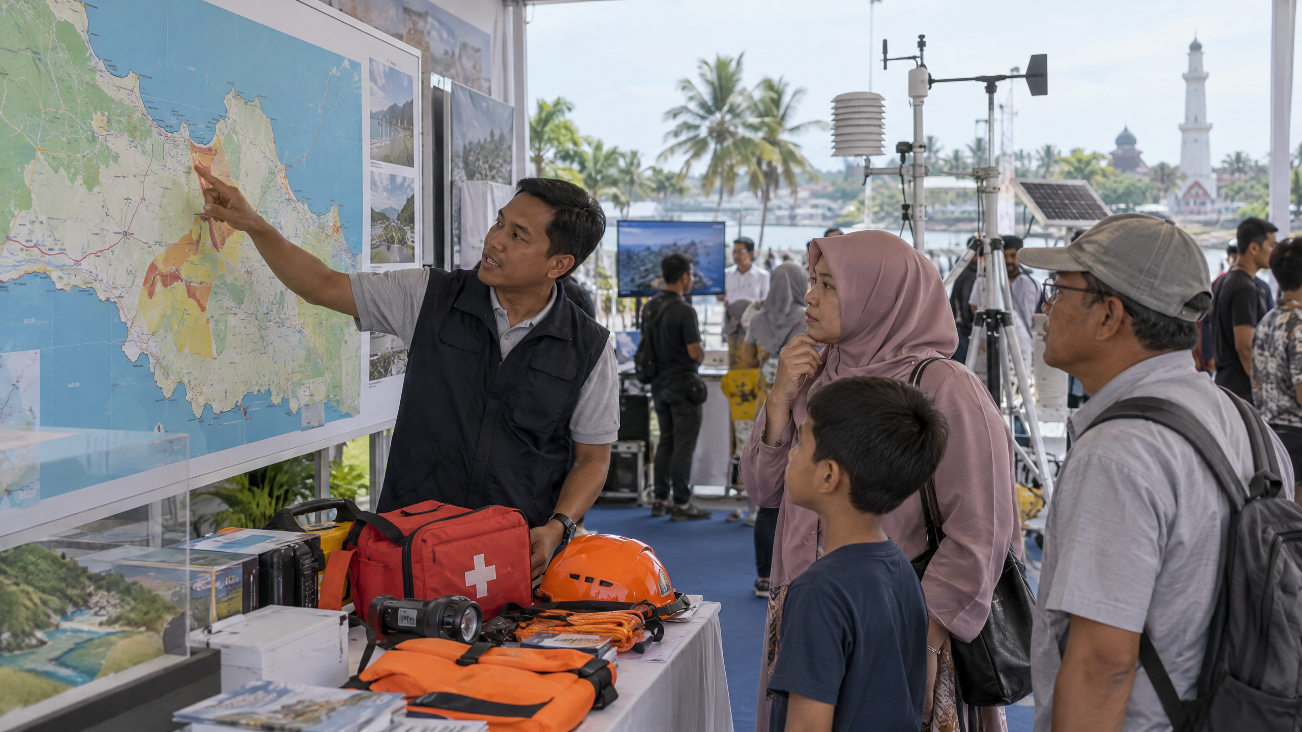
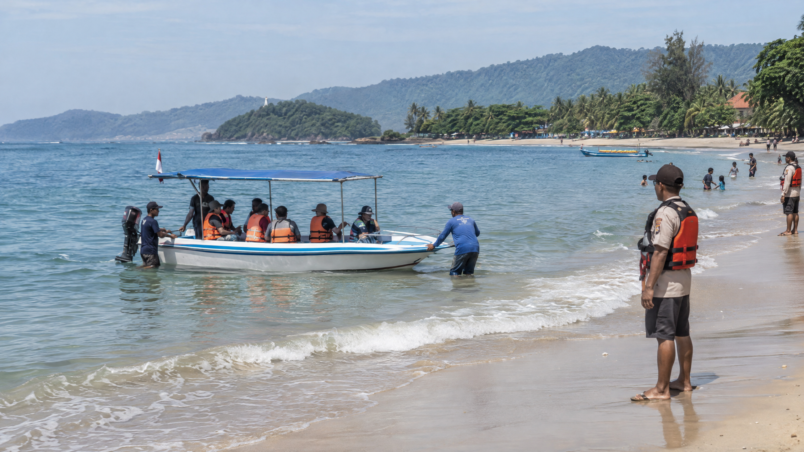
The 12 October 2026 offshore earthquake near Muarabinuangeun was a shallow magnitude 4.6 event that BMKG assessed as having no tsunami potential. For coastal travellers, the practical message is not to cancel a trip on the basis of this event alone, but to keep checking official alerts, know the nearest route to higher ground, and leave the shore immediately if strong shaking or unusual sea behaviour occurs.
What happened off Banten on 12 October 2026?
BMKG’s updated bulletin says the earthquake struck at 12:19:47 Western Indonesia Time on Monday, 12 October. The epicentre was in the sea, 38 kilometres southwest of Muarabinuangeun, at 7.16°S and 105.77°E, with a depth of 18 kilometres. BMKG classified it as a shallow tectonic earthquake associated with an active offshore fault. The bulletin headline states that the event did not have tsunami potential.
Reports collected by BMKG put the shaking at Intensity II–III on the Modified Mercalli Intensity (MMI) scale in Palabuhanratu and Sumur. Labuan, Ciemas and Gekbrong reported MMI II. In plain terms, MMI II–III means that some people felt the tremor indoors and light hanging objects could move; it is a description of observed effects, not the earthquake’s magnitude. BMKG reported no building damage at the time of its bulletin and said that, up to 12:30 WIB, its monitoring had not found an aftershock.
Does the earthquake mean Banten beaches are unsafe for travel?
Nothing in the BMKG bulletin establishes a blanket closure of Banten beaches, hotels, ports or attractions. The event was felt in several coastal and nearby areas, but the verified report does not describe damage, a tsunami, or an evacuation order. As of the 14 October work date, the official provincial and BPBD pages reviewed for this article also did not provide a blanket post-earthquake travel ban.
That is not a guarantee that every beach is operating normally. A particular beach, road, jetty, hotel or tour operator can impose its own restriction after inspections, weather warnings or local observations. Travellers should check the destination government, venue or operator before departure, especially for remote beaches in southern Banten where access to roads and higher ground can differ sharply. Do not treat social-media claims as a substitute for a BMKG or local-authority notice.
Why does tsunami preparedness still matter?
Banten’s official geographic profile says the southern coast is vulnerable to tsunami because of the subduction zone in the Indian Ocean. That long-term hazard remains relevant even when one moderate earthquake has been assessed as non-tsunamigenic. Banten also has a history of coastal tsunami impacts: BMKG’s account of the 22 December 2018 Sunda Strait disaster describes a tsunami associated with Anak Krakatau activity and a slope collapse rather than a conventional tectonic earthquake.
The lesson for tourism is simple: a current “no tsunami potential” assessment applies to the analysed event. It is not a permanent safety certificate for the coastline, and it does not replace monitoring for later earthquakes, volcanic activity, extreme waves or local warnings.
What should visitors do before and during a coastal trip?
- Check before leaving. Use BMKG’s verified channels and InaTEWS for earthquake and tsunami information, then check the relevant regency or city government and the attraction or accommodation for local operating conditions.
- Ask two practical questions on arrival. Where is the evacuation route, and where is the nearest high ground or designated assembly point? Save the route offline if mobile coverage may be weak.
- Respond to natural warning signs. If a strong or long earthquake makes it difficult to stand, or the sea suddenly withdraws or rises unusually, move inland or uphill immediately. Do not wait to film the shoreline or wait for a siren.
- Follow official instructions. Leave low-lying coastal areas when authorities issue an evacuation message. Avoid returning until officials say it is safe, because more waves can follow the first one.
In 2025, Banten BPBD reported that BMKG, BNPB, local BPBDs and other partners used the IOWAVE exercise to test Indonesia’s tsunami warning dissemination and stakeholder response. That is useful preparedness context for visitors: an alert is only effective if people can receive it, understand it and move quickly.
What do we know, and what remains unclear?
What we know: BMKG verified a magnitude 4.6, 18-kilometre-deep earthquake offshore from Muarabinuangeun at 12:19:47 WIB on 12 October; it described the source as a shallow active-fault earthquake, assessed no tsunami potential, recorded limited felt intensities, reported no damage at bulletin time and had detected no aftershock by 12:30 WIB. Banten’s southern coast remains a recognised tsunami-risk area, so preparedness advice remains relevant.
What remains unclear: The sources reviewed do not provide a complete 14 October inventory of inspections at every beach, hotel, road, harbour or tourism site, nor do they establish a universal reopening or closure schedule. They also do not provide a province-wide, event-specific estimate of aftershock probability. Travellers should therefore make decisions using the latest BMKG, BPBD and local-government updates for the exact destination, rather than extrapolating from one earthquake bulletin.
Bottom line for coastal travellers
The verified information supports continued travel only with normal caution, not panic and not complacency. The 12 October earthquake itself was assessed by BMKG as posing no tsunami potential and did not trigger a reported blanket closure in the sources reviewed. The safest habit is to monitor official updates, learn the route away from the shore, and evacuate immediately when strong shaking or a natural tsunami sign gives you a reason to move.
Sources
- https://lampung.bmkg.go.id/info/bmg2026tzhk/gempabumi-tektonik-m-4-6-mengguncang-wilayah-banten-tidak-berpotensi-tsunami
- https://lampung.bmkg.go.id/gempa/2026/10/12/38-km-baratdaya-muarabinuangeun-banten/bmg2026tzhk
- https://bantenprov.go.id/geografi?subdomain=geografi
- https://bpbd.bantenprov.go.id/portal/articles/read/iowave-2025-bmkg-latih-kesiapsiagaan-tsunami-di-13-provinsi-banten-dijadwalkan-25-september
- https://inatews.bmkg.go.id/eng
- https://www.bmkg.go.id/berita/utama/bmkg-ungkap-kronologi-tsunami-selat-sunda
- https://www.esdm.go.id/id/media-center/arsip-berita/kementerian-esdm-kirim-emergency-response-team-ke-lokasi-bencana-tsunami-banten