As of 14 October 2026, Banten’s most clearly documented infrastructure agenda is concentrated on industrial access and flood control: preparing a 10-kilometre road-and-drainage widening package in West Serang, continuing strategic road works in Serang Regency, and expanding local drainage. The official record supports a direction rather than a complete province-wide project list; budgets, tenders and construction schedules for several 2026 items have not been publicly confirmed in the sources reviewed.
That distinction matters in a province where ports, factories, housing and daily traffic share the same corridors. The agenda is not simply about adding lanes. It is also about whether drainage, land acquisition, freight regulation and early-warning systems can keep industrial routes open while reducing recurring flood risk.
What is Banten planning for the West Serang industrial corridor?
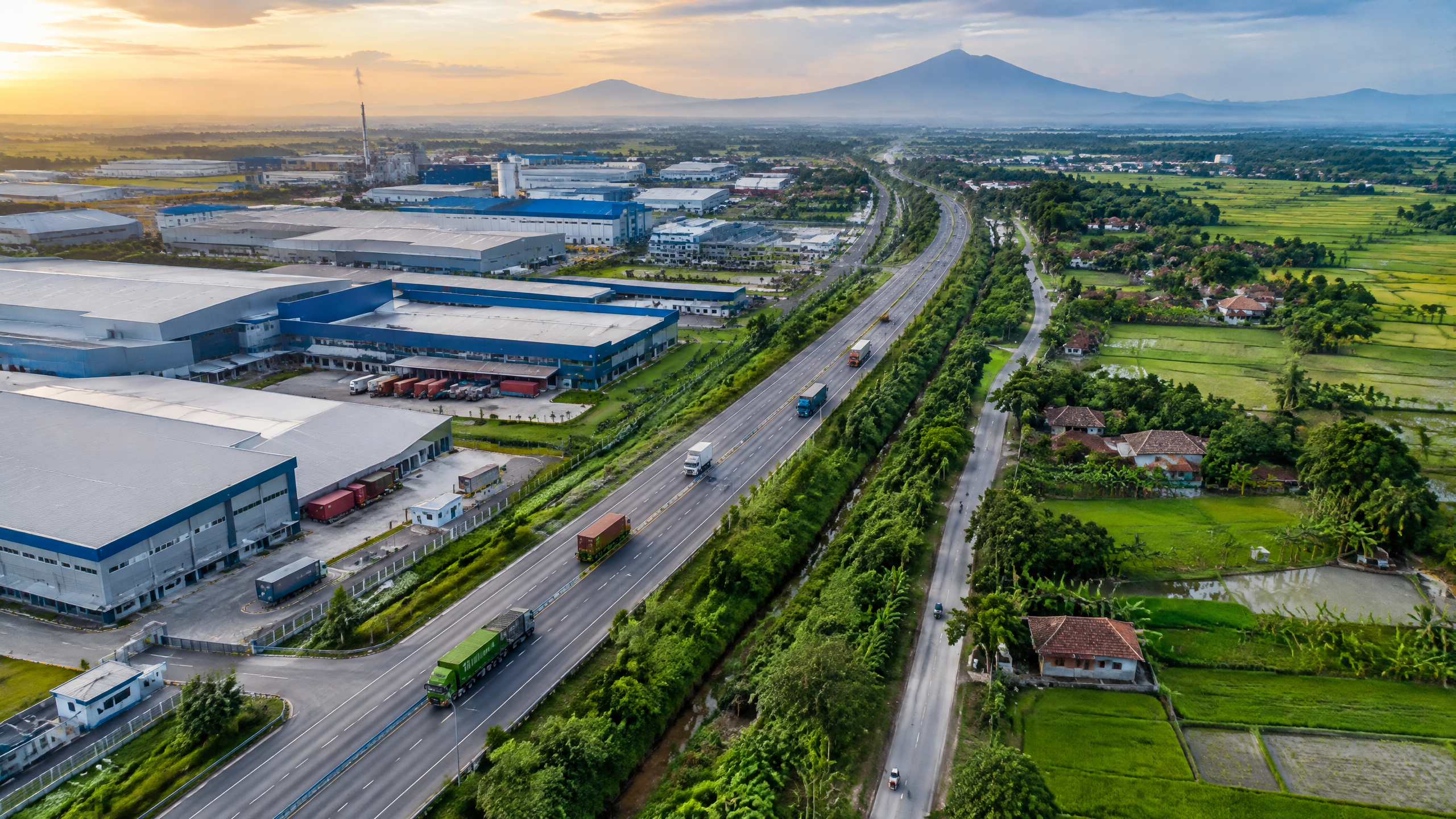
The clearest 2026 planning signal came from the Banten provincial government’s 6 August 2026 meeting on the West Serang industrial zone, covering Bojonegara, Puloampel and Kramatwatu in Serang Regency. Governor Andra Soni said the area’s first priority would be wider roads and drainage to improve the movement of residents, goods and industrial traffic and to address flooding reported almost every year.
Provincial Public Works chief Arlan Marzan said the first stage covers about 10 kilometres from the Seruni junction to Bojonegara Port. The province is preparing a Detailed Engineering Design (DED) and land acquisition, with a target for both to be completed in December 2026, according to the official account. The planned road space is 25 metres wide, with a median, three lanes, shoulders and drainage. The report says construction would fall under the national-road authority after the regional DED is provided.
The announcement also refers to a possible interchange connecting the Tangerang–Merak toll road with Bojonegara and surrounding areas. That is described as a proposal that still requires follow-through, not as a completed or fully scheduled project. The same caution applies to the governor’s instruction to form a cross-sector task force and to enforce Governor Regulation No. 567 of 2025 on operating hours and routes for mineral-hauling vehicles.
Which 2026 road and drainage works are already specified?
In an 8 October 2026 statement on Serang’s 500th anniversary, the provincial government said its 2026 connectivity work includes handling the Gunung Sari–Mancak–Anyer route, rehabilitating Cipatuk Bridge and repairing the Ciruas–Pontang road. The same statement gives more specific local targets: 51.48 kilometres of neighbourhood roads and 11.76 kilometres of drainage in Serang Regency, alongside rehabilitation of 39 uninhabitable homes.
These are not the same as the West Serang national-road widening plan. They are a separate set of provincial and settlement-scale works. That separation is important for readers tracking delivery: a kilometre target for neighbourhood roads does not prove that a freight corridor has been widened, and a DED target does not prove that construction has begun.
The province’s 4 October 2026 anniversary report also records earlier outputs: 61 village roads and one bridge totaling 71 kilometres in 2025, 407.43 kilometres of neighbourhood roads, 75 kilometres of drainage and nine road sections built through the central government’s Regional Road Presidential Instruction programme. Those figures describe reported delivery through the previous programme cycle, not a confirmed 2026 completion total.
Why is drainage central to an industrial infrastructure agenda?
Flooding is already a documented governance issue beyond Serang’s industrial zone. During a July 2025 inspection, the governor’s office said Tangerang City had 21 active flood points. The governor called for a full review of drainage, narrowed rivers and climate effects, while the city government cited high rainfall and shifting seasonal patterns. The stated approach was integrated action from upstream to downstream, involving provincial, local and central authorities.
In practical terms, resilience means infrastructure that continues to function during hazards and can recover quickly afterward. For a freight corridor, that includes adequate outfalls and culverts, protection against erosion and waterlogging, safe shoulders, maintenance access and a traffic plan for incidents. It also includes land-use decisions, because a wider road without functioning drainage can move congestion while shifting floodwater to nearby communities.
What do weather and road-condition data tell us?
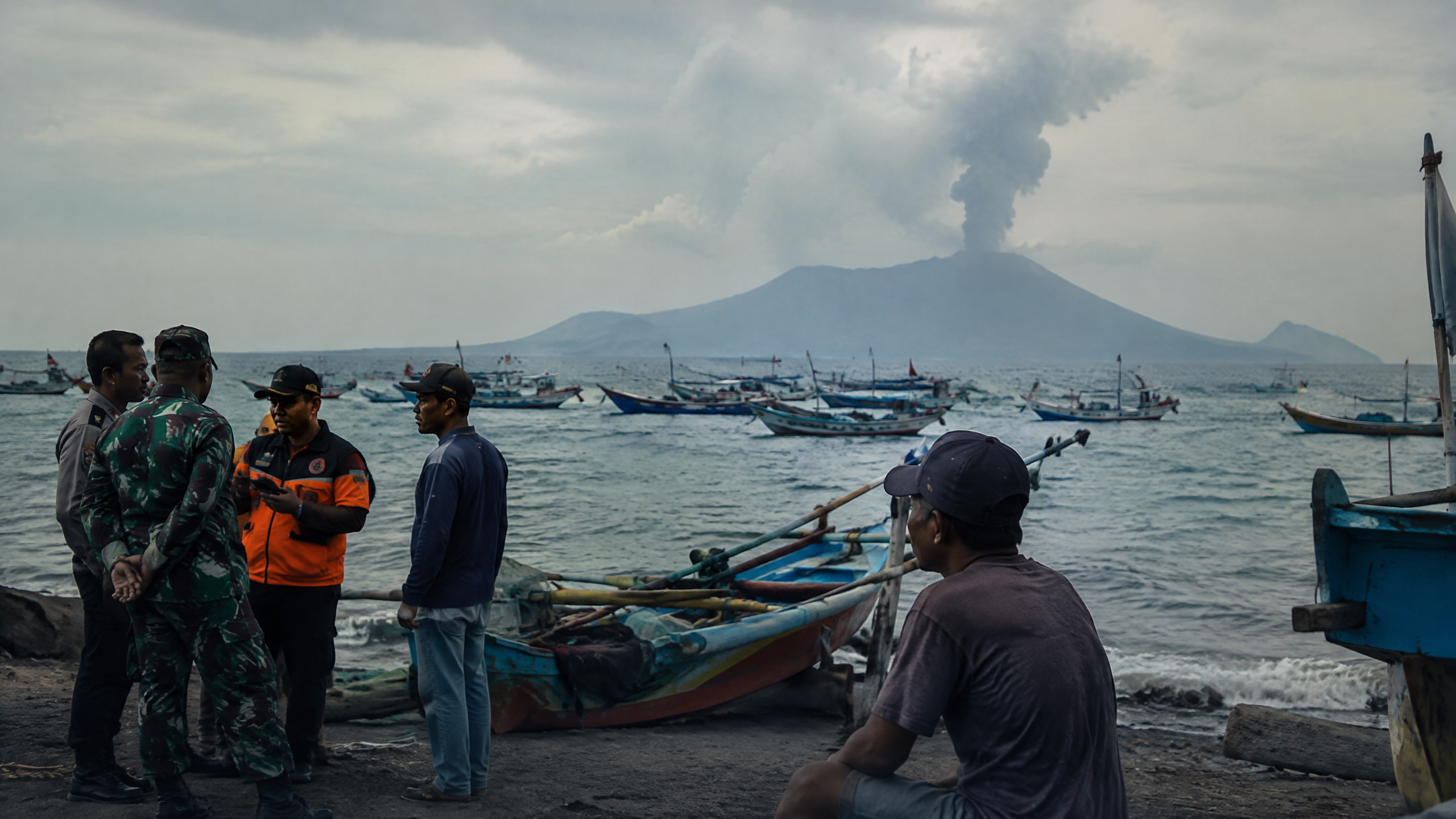
BMKG’s 1 December 2025 Nataru briefing warned that Banten was among areas needing vigilance for tropical-storm seed formation and that coastal Banten faced tidal-flood risk during a mid-December perigee and full-moon period. The warning is not a 2026 project approval, but it explains why drainage and emergency readiness belong in the same policy conversation.
At the national-road level, the Directorate General of Highways reported 96.76% road-worthiness in Banten ahead of the 2025–2026 Christmas and New Year period. That was a dated operational assessment, supported by eight service posts and emergency materials. It should not be read as proof that every industrial or provincial road was in good condition in October 2026.
What do we know, and what remains unclear?
What we know:
- West Serang’s Bojonegara–Puloampel–Kramatwatu zone is an official planning priority.
- The first proposed widening stage is about 10 kilometres from Seruni junction to Bojonegara Port, with drainage included.
- DED preparation and land acquisition were targeted for completion in December 2026, while national government construction was anticipated after the design handover.
- Serang’s 2026 programme names works on Gunung Sari–Mancak–Anyer, Cipatuk Bridge and Ciruas–Pontang, plus 51.48 kilometres of neighbourhood roads and 11.76 kilometres of drainage.
- Flooding in Tangerang and seasonal coastal hazards show why corridor planning cannot be separated from resilience.
What remains unclear: the reviewed official releases do not provide a consolidated 2026 budget for all these packages, a tender award, a construction start date, a final land-acquisition status or a verified October 2026 completion report for the West Serang widening. The proposed toll-road interchange also remains a follow-up item. Until those documents are published, the defensible description is an infrastructure agenda in preparation and partial delivery—not a finished industrial-corridor buildout.
Sources
- https://bantenprov.go.id/berita/gubernur-banten-andra-soni-tata-kawasan-zona-industri-serang-barat
- https://bantenprov.go.id/berita/5-abad-kabupaten-serang-sekda-banten-deden-apriandhi-tekankan-kolaborasi-pembangunan
- https://bantenprov.go.id/berita/hut-ke-26-banten-gubernur-andra-soni-paparkan-pembangunan-berdampak-dari-sekolah-baru-dan-kesehatan-gratis
- https://bantenprov.go.id/index.php/berita/tinjau-banjir-tangerang-gubernur-banten-andra-soni-perlu-solusi-teknis-dan-kebijakan-secara-terpadu
- https://binamarga.pu.go.id/berita/menghadapi-nataru-2025-2026-kemantapan-jalan-nasional-di-banten-9676
- https://www.bmkg.go.id/berita/jelang-nataru-bmkg-ingatkan-pentingnya-kesiapsiagaan-bersama-hadapi-cuaca-ekstrem