For a Serang day trip on 17–18 October 2026, the safest approach is to make the forecast and official road information part of the itinerary, not an afterthought. BMKG’s Serang page was updated at 19.00 WIB on 13 October and shows a warm, mostly clear-to-cloudy outlook across the displayed period, but visitors should check again before leaving because forecasts can change. No verified October 17–18 road closure or special traffic scheme was found in the official pages reviewed for this article.
That means a good weekend plan is flexible: choose city-based cultural stops first, keep outdoor or waterside activities conditional on the latest weather, and leave enough time for slower traffic. The advice below is based on information available on 14 October 2026; it is not a substitute for a same-day warning from BMKG, police, local government or emergency services.
What should visitors check before leaving for Serang?
- Weather: BMKG’s provincial display lists Serang forecasts ranging from 23–35°C over the displayed days, with conditions varying between clear and cloudy. The more detailed Serang page shows hourly conditions and humidity, including a 13 October 19.00 WIB update. Treat those figures as a planning snapshot rather than a guarantee, especially for outdoor, river or coastal plans.
- Traffic: Check the BPJT toll-road CCTV service and current police traffic information immediately before departure. BPJT says its service displays CCTV from toll-road sections, while the reviewed Korlantas Banten page did not provide a confirmed 17–18 October 2026 Serang diversion or closure.
- Safety: Save the national SAR emergency number, 115, before travelling. Basarnas’ Banten office is listed on the official site at Jalan Raya Serang–Cilegon Km 70, Wanayasa–Kramatwatu, Kabupaten Serang. For an incident, contact emergency services first and follow instructions from officials at the scene.
How can traffic shape a one-day Serang itinerary?
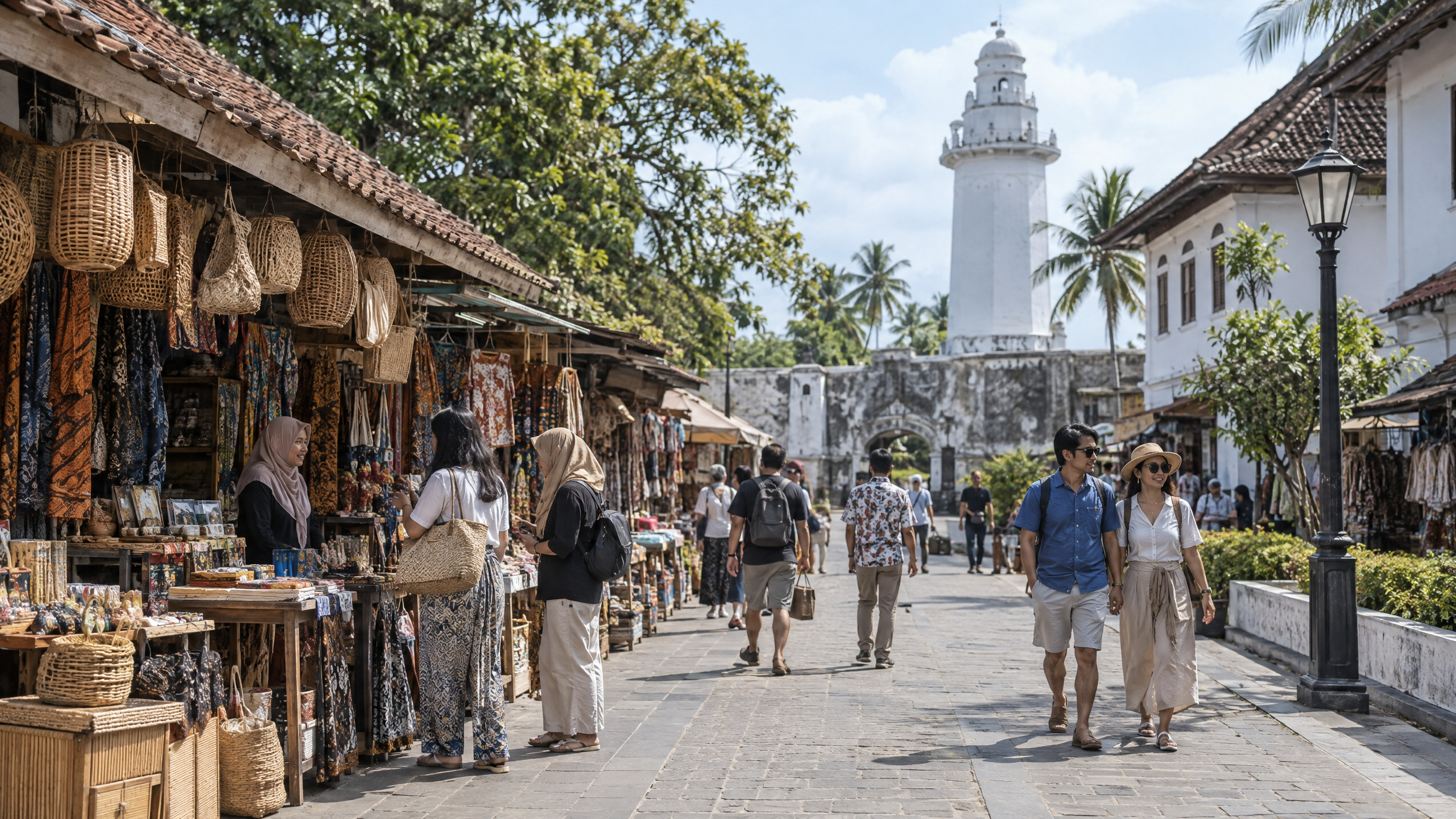
Do not build a day trip around a long chain of distant stops. The official City of Serang tourism portal identifies cultural life, local food and heritage as part of the city’s tourism identity. A shorter city-focused route can therefore leave room for a market, heritage area, meal stop or community destination without assuming that every venue has the same opening hours or parking capacity.
Recent City of Serang government information says the planned tourism-management unit will cover Royal Baroe, Pasar Lama and Kampung Pecinan, with responsibilities including events, cleanliness and security. Another April 2026 government report names Sungai Cibanten river touring as a developing attraction and says residents in Umbul Tengah, Taktakan, were preparing activities including river touring and glamping. These reports establish policy and development context, not a promise that every activity will operate on this weekend. Confirm access, tickets, guides, parking and weather arrangements directly with the relevant operator or local authority.
For drivers using toll roads, check BPJT CCTV before entering the route and again before the return journey. For local roads, allow extra time around busy commercial or event areas. Because no official October weekend traffic plan was verified in the sources reviewed, a navigation-app estimate should not be treated as an official closure notice. If police or the city transport authority issue a new instruction, follow it over a pre-written itinerary.
What does the weather mean for outdoor tourism?
BMKG’s current Serang outlook supports a plan that starts outdoors while conditions are comfortable, then moves to shaded or indoor stops during the hottest part of the day. The detailed forecast reaches about 33–35°C at several daytime points in the displayed period, with humidity also changing substantially. Carry drinking water, sun protection and light rain protection even when the headline condition says clear.
Cloud cover is not the same as a safety clearance. If rain, lightning or a strong-weather warning appears, postpone river activities, exposed viewpoints and waterside recreation. Do not infer river flow, wave conditions or beach safety from a city weather icon. Those require the relevant local and official maritime or disaster information.
What public-safety information matters for a Serang day trip?
Public-safety information means more than crime news. It includes weather warnings, road instructions, emergency contacts, venue capacity or access notices, and hazard information for outdoor areas. Before leaving, share the route with someone at home, keep phones charged, use marked parking and obey signs or instructions from site managers. Families should agree on a meeting point rather than relying only on mobile coverage.
Coastal travel also needs restraint. The Badan Geologi’s Katalog Tsunami Indonesia records tsunami history in Banten and the Sunda Strait, including the 22 December 2018 tsunami generated by a partial collapse associated with Anak Krakatau. That historical record is not a prediction of an event this weekend, and it does not establish a current alert. It does show why visitors should never ignore an official coastal evacuation instruction, unusual sea behaviour or a warning from disaster authorities.
What are the verified facts and what remains unclear?
Verified facts:
- BMKG’s Serang forecast page carried a 13 October 2026, 19.00 WIB update and displayed forecasts through later October dates.
- BMKG’s provincial page displayed Serang and Kota Serang forecast ranges that include clear and cloudy conditions and daytime temperatures in the low-to-mid 30s Celsius.
- BPJT provides an official toll-road CCTV service for checking road conditions.
- Basarnas lists SAR emergency access through 115 and has a Banten office in Kabupaten Serang.
- City government reports identify Royal Baroe, Pasar Lama, Kampung Pecinan and Sungai Cibanten as tourism-management or development references, while stressing management, cleanliness and service.
- Badan Geologi records documented tsunami history in Banten and the Sunda Strait.
What remains unclear: the sources reviewed do not establish real-time travel time, parking availability, venue opening hours, ticket prices, visitor limits, a confirmed 17–18 October traffic diversion, or a current coastal hazard alert. Those details can change after publication. Recheck BMKG, BPJT, police, local-government and venue channels on the morning of travel. A day trip is better when the schedule can change safely.
Sources
- https://www.bmkg.go.id/cuaca/prakiraan-cuaca/36.73.01.1001
- https://www.bmkg.go.id/cuaca/prakiraan-cuaca/36
- https://bpjt.pu.go.id/cctv/
- https://banten.basarnas.go.id/
- https://geologi.esdm.go.id/storage/publikasi/y2QHnxMUXRyvP9jRpz3x0lSboEZA2czHyFdPBUgt.pdf
- https://serangkota.go.id/pages/wisata-kearifan-lokal
- https://ppid.serangkota.go.id/detailpost/kota-serang-siapkan-upt-untuk-kelola-destinasi-wisata-unggulan
- https://ppid.serangkota.go.id/detailpost/pemkot-serang-dan-pokdarwis-sepakat-kembangkan-pariwisata-dorong-wisata-baru-dan-ekonomi-kreatif
- https://korlantas.polri.go.id/tag/banten/